2.3 Street Classification
Seattle is required by state law to classify city streets into primary functional classifications, which are generally based on the American Association of State Highway and Transportation Officials (AASHTO) standards. The AASHTO standards that apply to urbanized areas that have over 50,000 people are used.
The City builds upon the AASHTO functional classifications by also identifying more refined Traffic Classifications, which further define the roadway network according to different levels of emphasis on mobility versus direct access to property. Seattle’s functional classifications include Interstate Freeways; Regional, Principal, Minor and Collector Arterial streets; Commercial and Residential Access Streets; and Alleys. At one end of the hierarchy, a freeway emphasizes traffic movement, while restricting access to adjacent land. At the other end of the hierarchy, a residential access street provides easy access to adjacent residential, commercial, and industrial land uses, while limiting traffic passing through to other destinations. The arterial network is the “backbone” of the roadway system and accommodates the most trips for all modes.
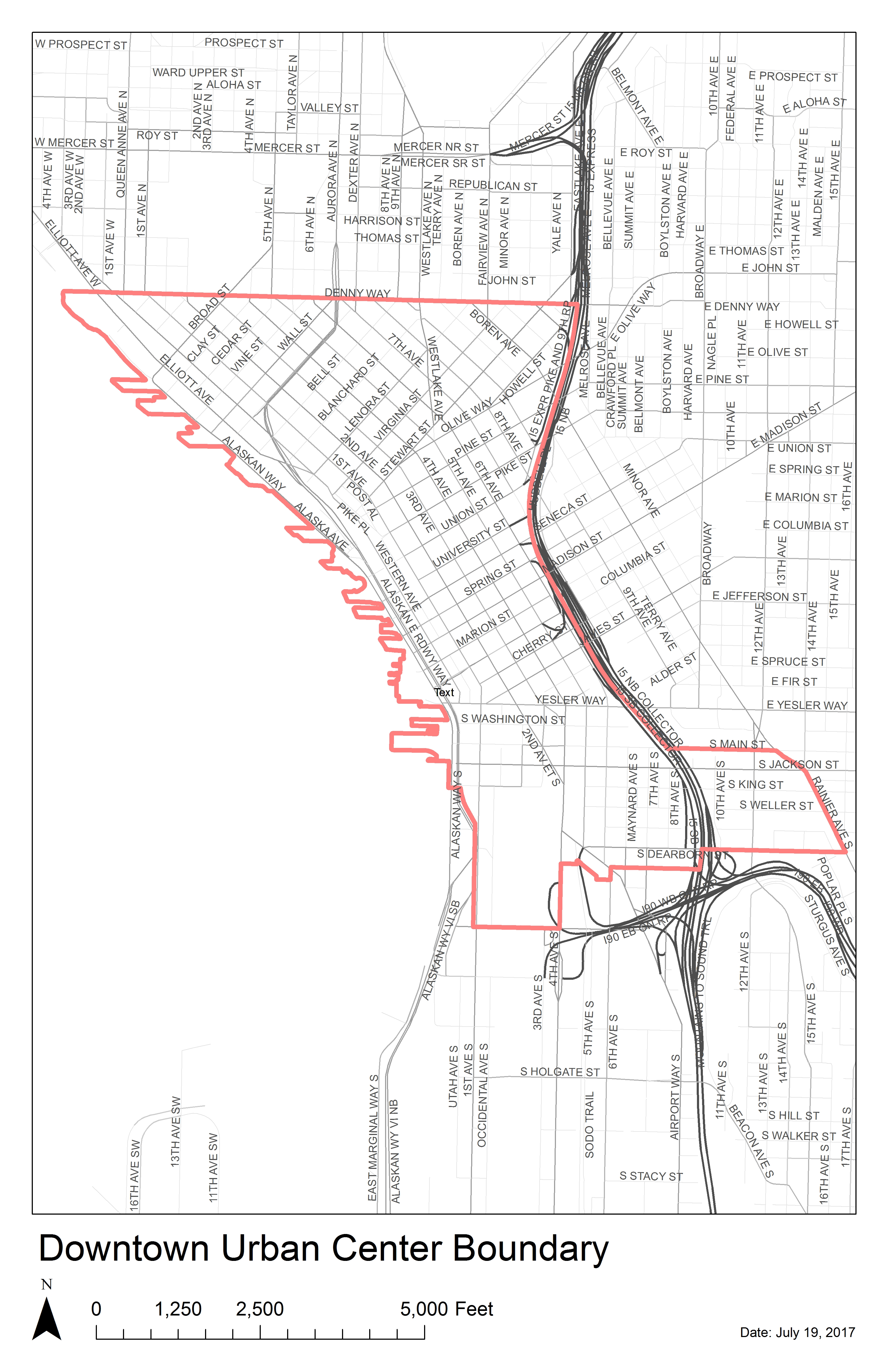
The City of Seattle street classification network are modified periodically. Any changes to traffic classifications are adopted by City Council Ordinance. Please confirm the classification of streets adjacent to a site by referencing the Street Types map.
Table 1 summarizes Seattle’s Street Types and the land uses and associated street classification(s).
|
STREET TYPE |
ADJACENT LAND USE AND INTENSITY |
TYPICAL STREET CLASSIFICATION |
|
Downtown |
|
Principal Arterial |
|
Downtown Neighborhood |
|
Minor and Collector Arterials |
|
Downtown Neighborhood Access |
|
Non-arterials |
|
Urban Village Main |
|
Principal Arterial |
|
Urban Village Neighborhood |
|
Minor and Collector Arterial |
|
Urban Village Neighborhood Access |
|
Non-arterials |
|
Urban Center Connector |
|
Principal and Minor Arterial |
|
Neighborhood Corridor |
|
Principal, Minor and Collector Arterials |
|
Industrial Access |
|
Principal and Minor Arterials |
|
Minor Industrial Access |
|
Non-arterials |
|
Neighborhood Yield |
|
Non-arterials |
|
Commercial Alley |
|
Alley |
* Exceptions may apply.